
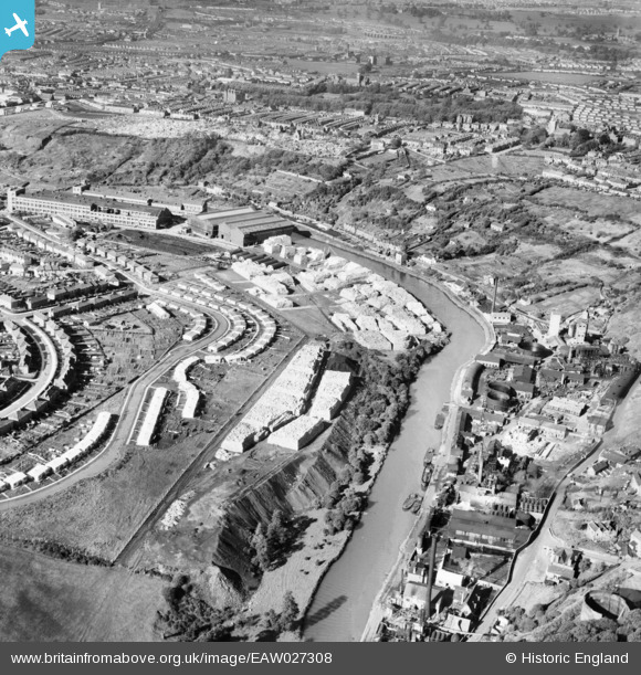
EAW027308 ENGLAND (1949). Prefabricated housing on Wootton Road, the River Avon and environs, Bristol, from the south-east, 1949
© Copyright OpenStreetMap contributors and licensed by the OpenStreetMap Foundation. 2024. Cartography is licensed as CC BY-SA.
Nearby Images (16)
EAW027308

EPW016979
 Ltd Tar and Rosin Works, Crew's Hole, 1926")
EPW016980
 Ltd Tar and Rosin Works, Crew's Hole, 1926")
EPW016982
 Ltd Tar and Rosin Works, Crew's Hole, 1926")
EPW016975
 Ltd Tar and Rosin Works, Crew's Hole, 1926")
EPW016976
 Ltd Tar and Rosin Works, Crew's Hole, 1926")
EAW049904
 Ltd Tar and Rosin Works, Crew's Hole, 1953. This image was marked by Aerofilms Ltd for photo editing.")
EPW016977
 Ltd Tar and Rosin Works, Crew's Hole, 1926")
EPW016978
 Ltd Tar and Rosin Works, Crew's Hole, 1926")
EAW049903
 Ltd Tar and Rosin Works, Crew's Hole, 1953. This image was marked by Aerofilms Ltd for photo editing.")
EAW049909
 Ltd Tar and Rosin Works and environs, Crew's Hole, 1953. This image was marked by Aerofilms Ltd for photo editing.")
EAW049906
 Ltd Tar and Rosin Works, Crew's Hole, 1953. This image was marked by Aerofilms Ltd for photo editing.")
EAW049905
 Ltd Tar and Rosin Works, Crew's Hole, 1953. This image was marked by Aerofilms Ltd for photo editing.")
EAW049908
 Ltd Tar and Rosin Works and environs, Crew's Hole, 1953. This image was marked by Aerofilms Ltd for photo editing.")
EPW016981
 Ltd Tar and Rosin Works, Crew's Hole, 1926")
EAW049907
 Ltd Tar and Rosin Works and environs, Crew's Hole, 1953. This image was marked by Aerofilms Ltd for photo editing.")
Details
| Title | [EAW027308] Prefabricated housing on Wootton Road, the River Avon and environs, Bristol, from the south-east, 1949 |
| Reference | EAW027308 |
| Date | 19-October-1949 |
| Link | |
| Place name | BRISTOL |
| Parish | |
| District | |
| Country | ENGLAND |
| Easting / Northing | 362775, 172642 |
| Longitude / Latitude | -2.5357642836574, 51.451047922199 |
| National Grid Reference | ST628726 |
Pins
 Rob (Troopers) |
Thursday 20th of July 2023 07:05:57 PM | |
Rob (Troopers) |
Thursday 20th of July 2023 06:58:18 PM | |
CrewsHoleSusan |
Wednesday 28th of August 2019 04:12:43 PM |


