
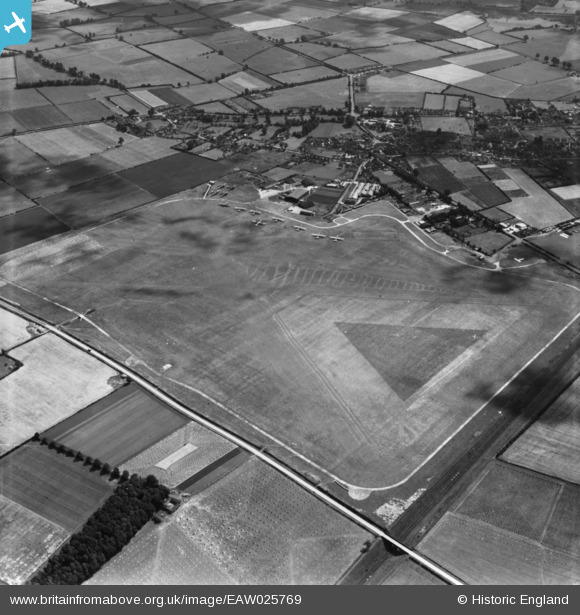
EAW025769 ENGLAND (1949). Aylesbury and Thame Airport (Haddenham Airfield), Haddenham, 1949. This image has been produced from a print.
© Copyright OpenStreetMap contributors and licensed by the OpenStreetMap Foundation. 2024. Cartography is licensed as CC BY-SA.
Nearby Images (3)
EAW025769
, Haddenham, 1949. This image has been produced from a print.")
EAW025768
, Haddenham, 1949. This image has been produced from a print.")
EAW025767
, Haddenham, 1949. This image has been produced from a print.")
Details
| Title | [EAW025769] Aylesbury and Thame Airport (Haddenham Airfield), Haddenham, 1949. This image has been produced from a print. |
| Reference | EAW025769 |
| Date | 8-August-1949 |
| Link | |
| Place name | HADDENHAM |
| Parish | HADDENHAM |
| District | |
| Country | ENGLAND |
| Easting / Northing | 473226, 209127 |
| Longitude / Latitude | -0.93853487118337, 51.7755652696 |
| National Grid Reference | SP732091 |
Pins
Be the first to add a comment to this image!


