
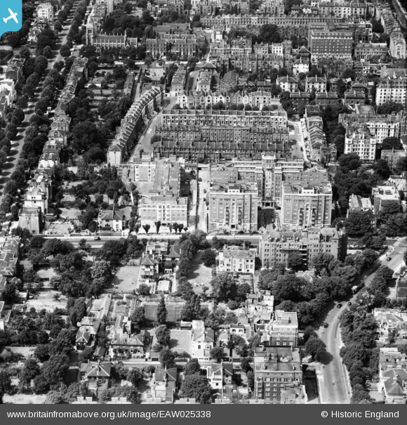
EAW025338 ENGLAND (1949). Grove Hall Court, St John's Wood, 1949
© Copyright OpenStreetMap contributors and licensed by the OpenStreetMap Foundation. 2024. Cartography is licensed as CC BY-SA.
Nearby Images (10)
EAW025338

EAW025333

EAW025334

EAW025339

EAW025336

EAW025337

EAW025335

EPW045411

EAW018356

EAW021740

Details
| Title | [EAW025338] Grove Hall Court, St John's Wood, 1949 |
| Reference | EAW025338 |
| Date | 22-July-1949 |
| Link | |
| Place name | ST JOHN'S WOOD |
| Parish | |
| District | |
| Country | ENGLAND |
| Easting / Northing | 526451, 182830 |
| Longitude / Latitude | -0.17684370334205, 51.529721224571 |
| National Grid Reference | TQ265828 |


