
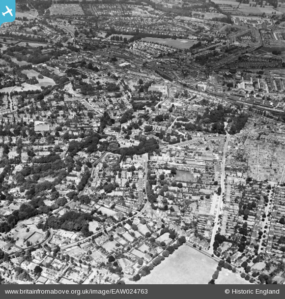
EAW024763 ENGLAND (1949). The town, Epsom, 1949
© Copyright OpenStreetMap contributors and licensed by the OpenStreetMap Foundation. 2024. Cartography is licensed as CC BY-SA.
Nearby Images (2)
EAW024763

EPW025142

Details
| Title | [EAW024763] The town, Epsom, 1949 |
| Reference | EAW024763 |
| Date | 12-July-1949 |
| Link | |
| Place name | EPSOM |
| Parish | |
| District | |
| Country | ENGLAND |
| Easting / Northing | 521397, 160457 |
| Longitude / Latitude | -0.25734383515649, 51.329732476658 |
| National Grid Reference | TQ214605 |
Pins

User Comment Contributions
 Waterloo Road, Epsom, 19/06/2016 |
 Class31 |
Tuesday 21st of June 2016 08:17:24 AM |


