
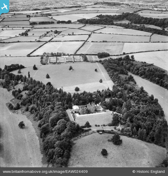
EAW024409 ENGLAND (1949). St Mary's Convent School, Donhead St Mary, 1949
© Copyright OpenStreetMap contributors and licensed by the OpenStreetMap Foundation. 2024. Cartography is licensed as CC BY-SA.
Nearby Images (6)
EAW024409

EAW024407

EPW023189

EAW024410

EPW023187

EAW024408

Details
| Title | [EAW024409] St Mary's Convent School, Donhead St Mary, 1949 |
| Reference | EAW024409 |
| Date | 6-July-1949 |
| Link | |
| Place name | DONHEAD ST MARY |
| Parish | DONHEAD ST. MARY |
| District | |
| Country | ENGLAND |
| Easting / Northing | 388391, 123046 |
| Longitude / Latitude | -2.1654797791366, 51.006141744598 |
| National Grid Reference | ST884230 |
Pins
Be the first to add a comment to this image!


