
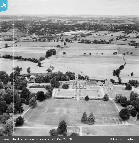
EAW024378 ENGLAND (1949). Canford School, Canford Magna, from the south-east, 1949. This image was marked by Aerofilms Ltd for photo editing.
© Copyright OpenStreetMap contributors and licensed by the OpenStreetMap Foundation. 2024. Cartography is licensed as CC BY-SA.
Nearby Images (5)
EAW024378

EAW024376

EAW003649

EPW013626

EPW013622

Details
| Title | [EAW024378] Canford School, Canford Magna, from the south-east, 1949. This image was marked by Aerofilms Ltd for photo editing. |
| Reference | EAW024378 |
| Date | 6-July-1949 |
| Link | |
| Place name | MERLEY |
| Parish | |
| District | |
| Country | ENGLAND |
| Easting / Northing | 403373, 98837 |
| Longitude / Latitude | -1.9521433556263, 50.788527035118 |
| National Grid Reference | SZ034988 |


