
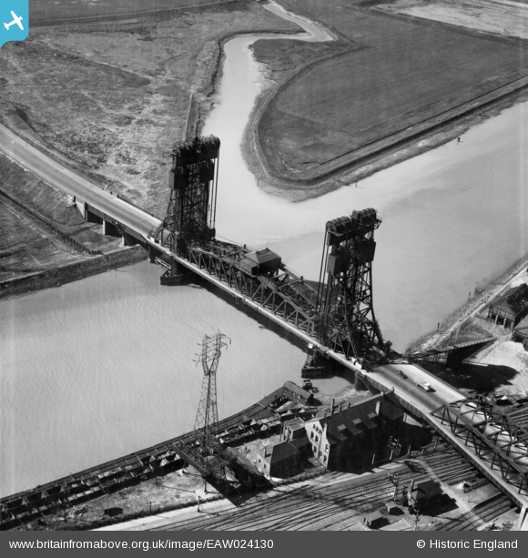
EAW024130 ENGLAND (1949). The Tees (Newport) Bridge, Middlesbrough, 1949
© Copyright OpenStreetMap contributors and licensed by the OpenStreetMap Foundation. 2024. Cartography is licensed as CC BY-SA.
Nearby Images (7)
EAW024130
 Bridge, Middlesbrough, 1949")
EAW024129
 Bridge, Middlesbrough, 1949")
EPW042126

EPW042125

EAW024128
 Bridge, Middlesbrough, 1949")
EAW013849

EAW024126

Details
| Title | [EAW024130] The Tees (Newport) Bridge, Middlesbrough, 1949 |
| Reference | EAW024130 |
| Date | 22-June-1949 |
| Link | |
| Place name | MIDDLESBROUGH |
| Parish | |
| District | |
| Country | ENGLAND |
| Easting / Northing | 447858, 519870 |
| Longitude / Latitude | -1.2596380106529, 54.57165782419 |
| National Grid Reference | NZ479199 |
Pins
 redmist |
Monday 29th of November 2021 11:04:30 PM | |
redmist |
Monday 29th of November 2021 11:04:05 PM | |
J May |
Monday 10th of November 2014 01:33:14 PM |


