
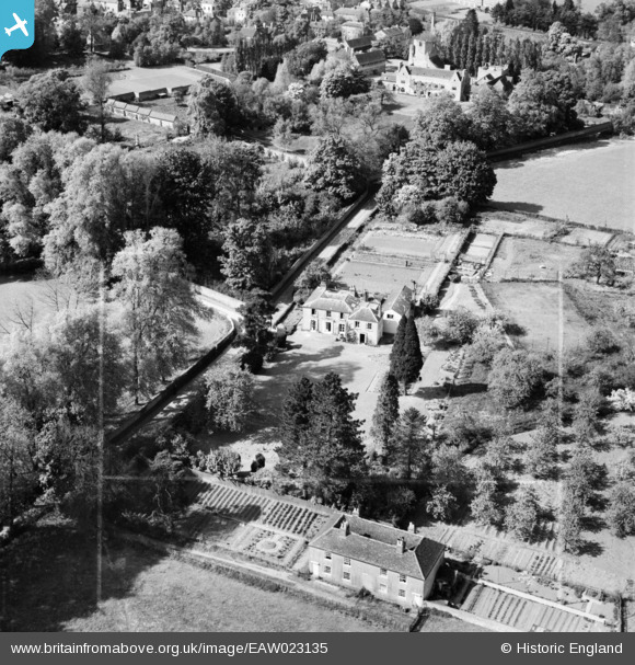
EAW023135 ENGLAND (1949). Lavenders, West Malling, 1949. This image was marked by Aerofilms Ltd for photo editing.
© Copyright OpenStreetMap contributors and licensed by the OpenStreetMap Foundation. 2024. Cartography is licensed as CC BY-SA.
Nearby Images (8)
EAW023135

EAW017610

EAW023136

EAW017609

EAW017607

EAW023137

EAW017608

EAW036709

Details
| Title | [EAW023135] Lavenders, West Malling, 1949. This image was marked by Aerofilms Ltd for photo editing. |
| Reference | EAW023135 |
| Date | 11-May-1949 |
| Link | |
| Place name | WEST MALLING |
| Parish | WEST MALLING |
| District | |
| Country | ENGLAND |
| Easting / Northing | 568269, 157400 |
| Longitude / Latitude | 0.41351036710503, 51.290329104845 |
| National Grid Reference | TQ683574 |
Pins
Be the first to add a comment to this image!


