
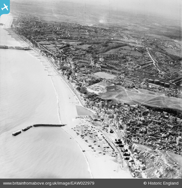
EAW022979 ENGLAND (1949). The seafront and town, Hastings, from the east, 1949
© Copyright OpenStreetMap contributors and licensed by the OpenStreetMap Foundation. 2024. Cartography is licensed as CC BY-SA.
Nearby Images (5)
EAW022979

EAW002398

EAW002397

EPW026187

EAW002399

Details
| Title | [EAW022979] The seafront and town, Hastings, from the east, 1949 |
| Reference | EAW022979 |
| Date | 6-May-1949 |
| Link | |
| Place name | HASTINGS |
| Parish | |
| District | |
| Country | ENGLAND |
| Easting / Northing | 582880, 109396 |
| Longitude / Latitude | 0.59857219300243, 50.854564896717 |
| National Grid Reference | TQ829094 |
Pins
 Alan McFaden |
Sunday 14th of December 2014 03:50:17 PM | |
Alan McFaden |
Sunday 14th of December 2014 03:49:32 PM | |
Alan McFaden |
Sunday 14th of December 2014 03:45:52 PM |


