
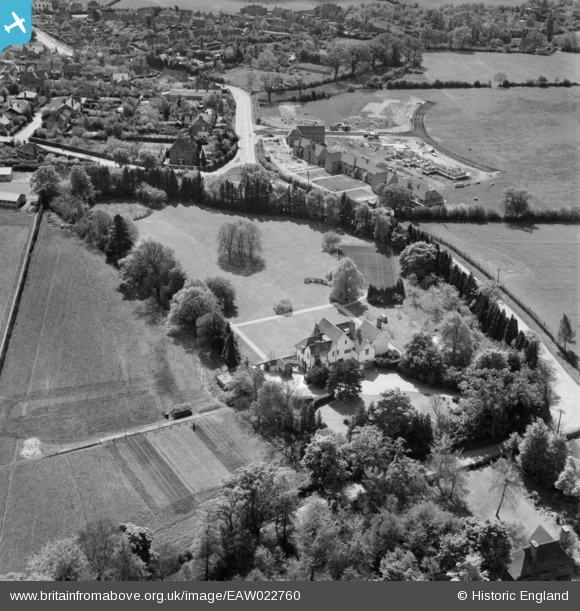
EAW022760 ENGLAND (1949). Tunmers, Leachcroft and environs, Chalfont St Peter, 1949
© Copyright OpenStreetMap contributors and licensed by the OpenStreetMap Foundation. 2024. Cartography is licensed as CC BY-SA.
Nearby Images (4)
EAW022760

EAW022759

EAW022761

EAW022758

Details
| Title | [EAW022760] Tunmers, Leachcroft and environs, Chalfont St Peter, 1949 |
| Reference | EAW022760 |
| Date | 29-April-1949 |
| Link | |
| Place name | CHALFONT ST PETER |
| Parish | CHALFONT ST. PETER |
| District | |
| Country | ENGLAND |
| Easting / Northing | 499059, 190926 |
| Longitude / Latitude | -0.56934494782911, 51.6079726718 |
| National Grid Reference | SU991909 |
Pins
Be the first to add a comment to this image!


