
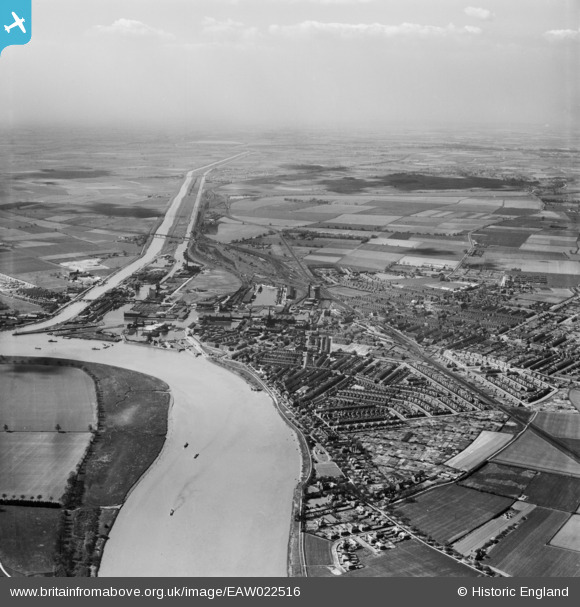
EAW022516 ENGLAND (1949). The harbour and town, Goole, from the north-east, 1949
© Copyright OpenStreetMap contributors and licensed by the OpenStreetMap Foundation. 2024. Cartography is licensed as CC BY-SA.
Nearby Images (2)
EAW022516

EPW031434

Details
| Title | [EAW022516] The harbour and town, Goole, from the north-east, 1949 |
| Reference | EAW022516 |
| Date | 20-April-1949 |
| Link | |
| Place name | GOOLE |
| Parish | GOOLE |
| District | |
| Country | ENGLAND |
| Easting / Northing | 475501, 423886 |
| Longitude / Latitude | -0.85610304044343, 53.705709692647 |
| National Grid Reference | SE755239 |
Pins
 DaveH |
Wednesday 17th of March 2021 02:52:21 AM | |
DaveH |
Wednesday 17th of March 2021 02:51:18 AM | |
redmist |
Wednesday 16th of September 2020 09:39:20 AM | |
redmist |
Wednesday 16th of September 2020 09:38:01 AM | |
redmist |
Tuesday 12th of May 2020 02:28:22 PM | |
redmist |
Monday 11th of May 2020 10:46:56 PM | |
redmist |
Monday 11th of May 2020 10:45:58 PM |


