
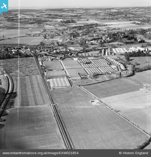
EAW021854 ENGLAND (1949). The "Sprat and Winkle" Railway Line and Tadburn Nursery, Romsey, from the south, 1949. This image was marked by Aerofilms Ltd for photo editing.
© Copyright OpenStreetMap contributors and licensed by the OpenStreetMap Foundation. 2024. Cartography is licensed as CC BY-SA.
Nearby Images (15)
EAW021854

EAW021855

EAW021851

EAW022434

EAW022432

EAW022433

EAW022435

EAW022439

EAW021853

EAW022437

EAW022440

EAW022436

EAW022438

EAW021852

EAW021850

Details
| Title | [EAW021854] The "Sprat and Winkle" Railway Line and Tadburn Nursery, Romsey, from the south, 1949. This image was marked by Aerofilms Ltd for photo editing. |
| Reference | EAW021854 |
| Date | 9-April-1949 |
| Link | |
| Place name | ROMSEY |
| Parish | ROMSEY |
| District | |
| Country | ENGLAND |
| Easting / Northing | 436285, 120745 |
| Longitude / Latitude | -1.4830177838026, 50.984421495465 |
| National Grid Reference | SU363207 |
Pins
Be the first to add a comment to this image!
User Comment Contributions
This is not the Sprat and Winkle line, its the Southampton line from Romsey. The Sprat and Winkle line is the other side of Romsey between Kimbridge and Stockbridge. |
 Christopher |
Saturday 21st of December 2013 11:32:48 AM |


