
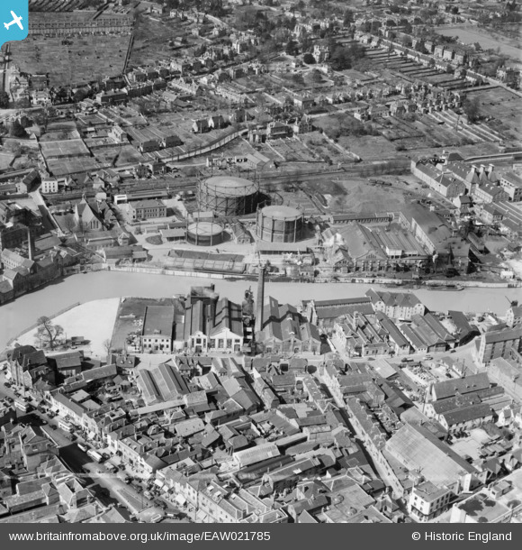
EAW021785 ENGLAND (1949). The St Peter's Street Gas Works and environs, Maidstone, 1949. This image was marked by Aerofilms Ltd for photo editing.
© Copyright OpenStreetMap contributors and licensed by the OpenStreetMap Foundation. 2024. Cartography is licensed as CC BY-SA.
Nearby Images (15)
EAW021785

EAW021787

EAW021789

EAW021786

EAW021790

EAW021791

EAW021788

EPW005635

EPW005631

EPW005634

EPW009208

EAW021784

EPW026067

EPW001436

EPW005632

Details
| Title | [EAW021785] The St Peter's Street Gas Works and environs, Maidstone, 1949. This image was marked by Aerofilms Ltd for photo editing. |
| Reference | EAW021785 |
| Date | 9-April-1949 |
| Link | |
| Place name | MAIDSTONE |
| Parish | |
| District | |
| Country | ENGLAND |
| Easting / Northing | 575672, 155736 |
| Longitude / Latitude | 0.51876671221525, 51.273143826452 |
| National Grid Reference | TQ757557 |
Pins
 Stu Giles |
Tuesday 22nd of May 2018 06:40:46 AM | |
gBr |
Friday 20th of November 2015 09:43:52 PM | |
Joseph |
Wednesday 8th of January 2014 04:46:23 PM | |
Joseph |
Wednesday 8th of January 2014 04:45:27 PM |


