EAW021419 ENGLAND (1949). Brompton Road looking towards Hyde Park, Knightsbridge, 1949. This image has been produced from a print.

© Copyright OpenStreetMap contributors and licensed by the OpenStreetMap Foundation. 2024. Cartography is licensed as CC BY-SA.
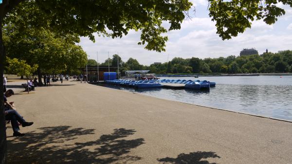
Nearby Images (7)
EAW021419

EAW022139

EPW030076

EAW022138

EAW000555

EAW021420

EPW016658

Details
| Title | [EAW021419] Brompton Road looking towards Hyde Park, Knightsbridge, 1949. This image has been produced from a print. |
| Reference | EAW021419 |
| Date | 15-March-1949 |
| Link | |
| Place name | KNIGHTSBRIDGE |
| Parish | |
| District | |
| Country | ENGLAND |
| Easting / Northing | 527588, 179562 |
| Longitude / Latitude | -0.16164274170598, 51.500093115036 |
| National Grid Reference | TQ276796 |
Pins
 Class31 |
Tuesday 16th of June 2015 11:03:19 PM | |
Class31 |
Saturday 7th of March 2015 07:24:53 PM | |
 Alan McFaden |
Thursday 25th of September 2014 11:12:07 AM | |
Alan McFaden |
Thursday 25th of September 2014 11:11:28 AM | |
Alan McFaden |
Thursday 25th of September 2014 11:10:55 AM |