
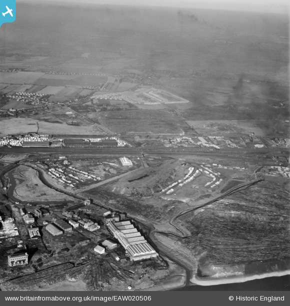
EAW020506 ENGLAND (1948). Ditton Marsh and the surrounding industrial area, Widnes, from the south, 1948
© Copyright OpenStreetMap contributors and licensed by the OpenStreetMap Foundation. 2024. Cartography is licensed as CC BY-SA.
Nearby Images (20)
EAW020506

EAW020505

EAW002734

EAW020507

EPW014290

EAW002733

EPW014294

EAW020508

EAW020503

EPW014295

EPW014293

EPW014287

EAW002729

EPW014291

EPW014289

EAW020511

EPW014288

EPW014292

EAW020509

EAW020512

Details
| Title | [EAW020506] Ditton Marsh and the surrounding industrial area, Widnes, from the south, 1948 |
| Reference | EAW020506 |
| Date | 10-November-1948 |
| Link | |
| Place name | WIDNES |
| Parish | |
| District | |
| Country | ENGLAND |
| Easting / Northing | 349538, 384137 |
| Longitude / Latitude | -2.7581750437671, 53.351442223064 |
| National Grid Reference | SJ495841 |
Pins
 Ginger79 |
Sunday 19th of November 2023 01:54:40 AM | |
Ginger79 |
Sunday 19th of November 2023 01:51:33 AM | |
 Bottom Yard |
Tuesday 26th of March 2019 01:48:44 PM | |
Bottom Yard |
Wednesday 6th of March 2019 07:48:32 PM | |
AnthonyF |
Friday 22nd of April 2016 09:24:34 PM | |
CHESTNUT LODGE, WAS AT THE END OF ELIZABETH TERRACE AND LIVERPOOL ROAD, SET BACK ,OPEN GROUND AT CROSS ROADS. NOT AS YOUR INCORRECT PIN STATES. |
Bottom Yard |
Wednesday 6th of March 2019 07:51:39 PM |


