
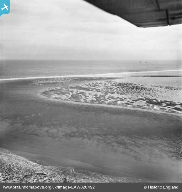
EAW020492 ENGLAND (1948). The Goodwin Sands (approximate location recorded), 1948
© Copyright OpenStreetMap contributors and licensed by the OpenStreetMap Foundation. 2024. Cartography is licensed as CC BY-SA.
Nearby Images (3)
EAW020492
, 1948")
EAW020491
, 1948")
EAW020493
, 1948")
Details
| Title | [EAW020492] The Goodwin Sands (approximate location recorded), 1948 |
| Reference | EAW020492 |
| Date | 9-November-1948 |
| Link | |
| Place name | |
| Parish | DEAL |
| District | |
| Country | ENGLAND |
| Easting / Northing | 647043, 153851 |
| Longitude / Latitude | 1.5389832422674, 51.229765533376 |
| National Grid Reference | TR470539 |
Pins
Be the first to add a comment to this image!


