
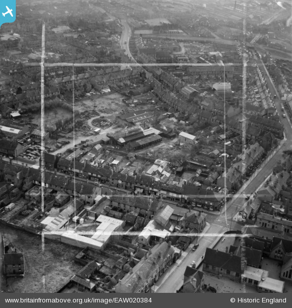
EAW020384 ENGLAND (1948). The Hayes Works (Spades, Shovels & Forks), High Street and environs, Blackheath, 1948. This image was marked by Aerofilms Ltd for photo editing.
© Copyright OpenStreetMap contributors and licensed by the OpenStreetMap Foundation. 2024. Cartography is licensed as CC BY-SA.
Nearby Images (10)
EAW020384
, High Street and environs, Blackheath, 1948. This image was marked by Aerofilms Ltd for photo editing.")
EAW020383
, Holly Road, Beeches Road and environs, Blackheath, 1948. This image was marked by Aerofilms Ltd for photo editing.")
EAW020385
, Holly Road, Beeches Road and environs, Blackheath, 1948. This image was marked by Aerofilms Ltd for photo editing.")
EAW020386
, Beeches Road and environs, Blackheath, 1948. This image was marked by Aerofilms Ltd for photo editing.")
EAW020382
, High Street and environs, Blackheath, 1948. This image was marked by Aerofilms Ltd for photo editing.")
EAW020388
 and environs, Blackheath, 1948. This image was marked by Aerofilms Ltd for photo editing.")
EAW020389
, High Street and environs, Blackheath, from the north, 1948. This image was marked by Aerofilms Ltd for photo editing.")
EAW020387
, High Street and environs, Blackheath, 1948. This image was marked by Aerofilms Ltd for photo editing.")
EPW061083

EPW061084

Details
| Title | [EAW020384] The Hayes Works (Spades, Shovels & Forks), High Street and environs, Blackheath, 1948. This image was marked by Aerofilms Ltd for photo editing. |
| Reference | EAW020384 |
| Date | 4-November-1948 |
| Link | |
| Place name | BLACKHEATH |
| Parish | |
| District | |
| Country | ENGLAND |
| Easting / Northing | 396953, 286373 |
| Longitude / Latitude | -2.0448647911298, 52.474909485301 |
| National Grid Reference | SO970864 |
Pins
Be the first to add a comment to this image!