
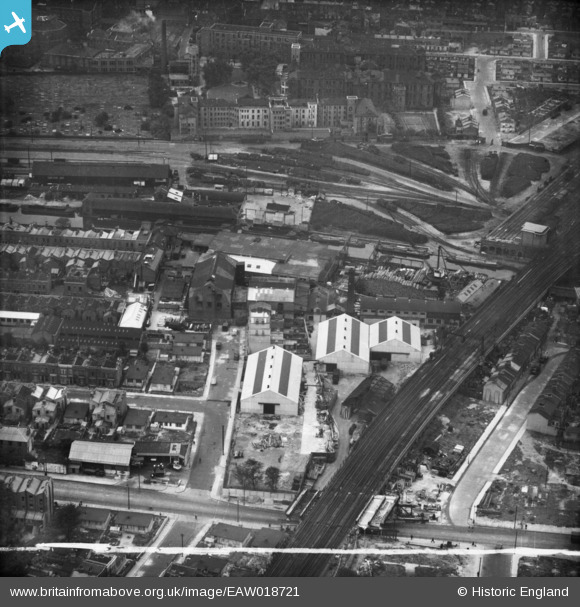
EAW018721 ENGLAND (1948). Avon Wharf and environs, Bow, 1948. This image was marked by Aerofilms Ltd for photo editing.
© Copyright OpenStreetMap contributors and licensed by the OpenStreetMap Foundation. 2024. Cartography is licensed as CC BY-SA.
Nearby Images (15)
EAW018721

EAW018717

EPW049665
 Ltd Works and environs, Bow, 1936")
EPW049668
 Ltd Works and environs, Bow, 1936")
EPW049664
 Ltd Works and environs, Bow, 1936")
EPW049667
 Ltd Works and environs, Bow, 1936")
EAW018722

EPW049669
 Ltd Works and environs, Bow, 1936")
EPW049671
 Ltd Works and environs, Bow, 1936")
EAW018720

EPW049666
 Ltd Works and environs, Bow, 1936")
EAW018716

EAW018718

EAW018715

EAW018719

Details
| Title | [EAW018721] Avon Wharf and environs, Bow, 1948. This image was marked by Aerofilms Ltd for photo editing. |
| Reference | EAW018721 |
| Date | 18-September-1948 |
| Link | |
| Place name | BOW |
| Parish | |
| District | |
| Country | ENGLAND |
| Easting / Northing | 536149, 182689 |
| Longitude / Latitude | -0.037158679374694, 51.526198582932 |
| National Grid Reference | TQ361827 |
Pins
 Hermann the German |
Monday 9th of October 2017 08:06:34 PM |


