
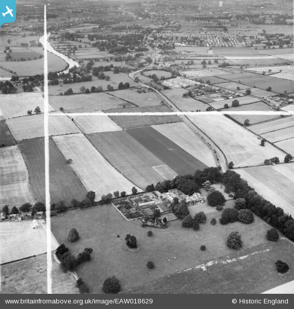
EAW018629 ENGLAND (1948). Lingcroft Lodge (Persimmon House) and the surrounding countryside, Fulford, 1948. This image was marked by Aerofilms Ltd for photo editing.
© Copyright OpenStreetMap contributors and licensed by the OpenStreetMap Foundation. 2024. Cartography is licensed as CC BY-SA.
Nearby Images (5)
EAW018629
 and the surrounding countryside, Fulford, 1948. This image was marked by Aerofilms Ltd for photo editing.")
EAW018634
 and the surrounding countryside, Fulford, 1948. This image was marked by Aerofilms Ltd for photo editing.")
EAW018635
 and the surrounding countryside, Fulford, 1948. This image was marked by Aerofilms Ltd for photo editing.")
EAW018626
 and the surrounding countryside, Fulford, 1948. This image was marked by Aerofilms Ltd for photo editing.")
EAW018633
 and the surrounding countryside, Naburn, 1948")
Details
| Title | [EAW018629] Lingcroft Lodge (Persimmon House) and the surrounding countryside, Fulford, 1948. This image was marked by Aerofilms Ltd for photo editing. |
| Reference | EAW018629 |
| Date | 10-September-1948 |
| Link | |
| Place name | FULFORD |
| Parish | FULFORD |
| District | |
| Country | ENGLAND |
| Easting / Northing | 461353, 447829 |
| Longitude / Latitude | -1.0656467601717, 53.922759206631 |
| National Grid Reference | SE614478 |
Pins
Be the first to add a comment to this image!


