
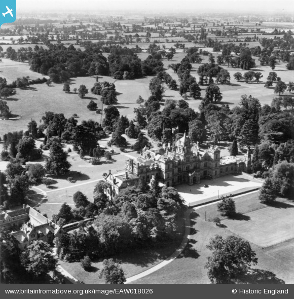
EAW018026 ENGLAND (1948). Westonbirt School, Westonbirt, from the north, 1948. This image has been produced from a print.
© Copyright OpenStreetMap contributors and licensed by the OpenStreetMap Foundation. 2024. Cartography is licensed as CC BY-SA.
Nearby Images (8)
EAW018026

EAW018025

EAW018027

EPR000379

EPR000378

EAW018029

EPR000376

EAW018028

Details
| Title | [EAW018026] Westonbirt School, Westonbirt, from the north, 1948. This image has been produced from a print. |
| Reference | EAW018026 |
| Date | 14-August-1948 |
| Link | |
| Place name | WESTONBIRT |
| Parish | WESTONBIRT WITH LASBOROUGH |
| District | |
| Country | ENGLAND |
| Easting / Northing | 386459, 189674 |
| Longitude / Latitude | -2.1955491119649, 51.605268728894 |
| National Grid Reference | ST865897 |
Pins
Be the first to add a comment to this image!


