EAW017984 ENGLAND (1948). Opencast coal mining to the north of Kidsleypark Farm, Smalley, 1948. This image has been produced from a print.

© Copyright OpenStreetMap contributors and licensed by the OpenStreetMap Foundation. 2024. Cartography is licensed as CC BY-SA.
Nearby Images (17)
EAW017984

EAW017957

EAW017959

EAW017947

EAW017988

EAW017952

EAW017987

EAW017989

EAW017990

EAW011251

EAW011228

EAW011221

EAW012048

EAW011897

EAW011898

EAW011244

EAW011229

Details
| Title | [EAW017984] Opencast coal mining to the north of Kidsleypark Farm, Smalley, 1948. This image has been produced from a print. |
| Reference | EAW017984 |
| Date | 10-August-1948 |
| Link | |
| Place name | SMALLEY |
| Parish | SMALLEY |
| District | |
| Country | ENGLAND |
| Easting / Northing | 441381, 346067 |
| Longitude / Latitude | -1.383183662091, 53.010003794539 |
| National Grid Reference | SK414461 |
Pins
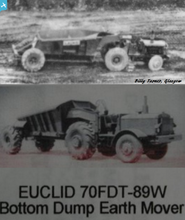
 Billy Turner |
Thursday 16th of March 2017 08:26:41 PM | |
Billy Turner |
Thursday 16th of March 2017 08:09:24 PM | |
Billy Turner |
Thursday 16th of March 2017 07:09:42 PM |