
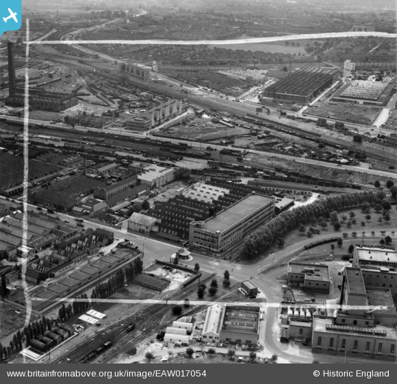
EAW017054 ENGLAND (1948). The Mono Containers Ltd Carton Factory and environs, Park Royal, 1948. This image was marked by Aerofilms Ltd for photo editing.
© Copyright OpenStreetMap contributors and licensed by the OpenStreetMap Foundation. 2024. Cartography is licensed as CC BY-SA.
Nearby Images (42)
EAW017054

EPW041847

EPW033754

EAW017055

EAW017051

EPW033804

EAW017053

EPW033752

EPW033753

EAW017048

EPW033748

EPW033808

EPW055631

EAW017050

EPW033810

EPW055632

EPW033747

EPW033806

EPW033805

EAW017047

EPW033751

EAW017046

EAW017049

EPW033809

EPW055633

EPW033750

EPW033749

EPW033807

EAW017052

EPW055630

EPW033746

EPW041846

EPW041853

EPW041858

EPW048435

EPW041860

EPW041850

EAW031549

EPW041852

EPW041857

EAW031552

EPW041851

Details
| Title | [EAW017054] The Mono Containers Ltd Carton Factory and environs, Park Royal, 1948. This image was marked by Aerofilms Ltd for photo editing. |
| Reference | EAW017054 |
| Date | 6-July-1948 |
| Link | |
| Place name | PARK ROYAL |
| Parish | |
| District | |
| Country | ENGLAND |
| Easting / Northing | 519597, 182567 |
| Longitude / Latitude | -0.27570370365972, 51.528850955589 |
| National Grid Reference | TQ196826 |
Pins
Be the first to add a comment to this image!


