
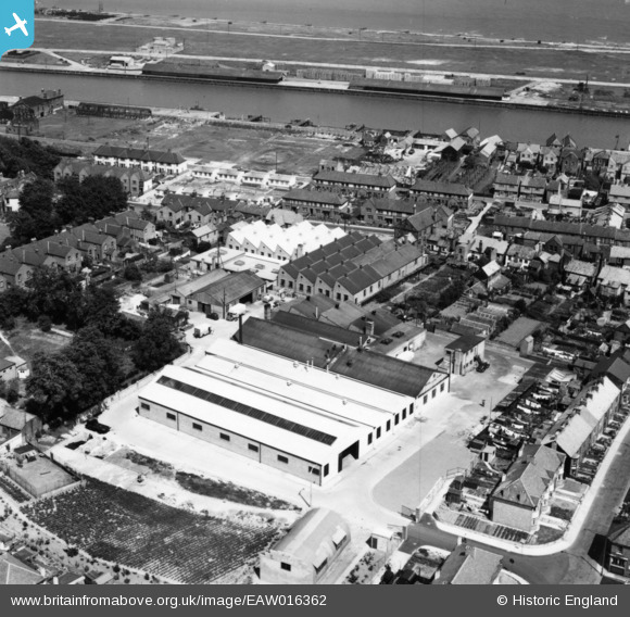
EAW016362 ENGLAND (1948). The Matthes Ltd Sunshine Bread Bakery on England's Lane, Gorleston-on-Sea, 1948. This image has been produced from a print.
© Copyright OpenStreetMap contributors and licensed by the OpenStreetMap Foundation. 2024. Cartography is licensed as CC BY-SA.
Nearby Images (9)
EAW016362

EAW016357

EAW016361

EAW016358

EAW016354

EAW016355

EAW016356

EAW016360

EAW016359

Details
| Title | [EAW016362] The Matthes Ltd Sunshine Bread Bakery on England's Lane, Gorleston-on-Sea, 1948. This image has been produced from a print. |
| Reference | EAW016362 |
| Date | 8-June-1948 |
| Link | |
| Place name | GORLESTON-ON-SEA |
| Parish | |
| District | |
| Country | ENGLAND |
| Easting / Northing | 652730, 304043 |
| Longitude / Latitude | 1.7304165695676, 52.575006926795 |
| National Grid Reference | TG527040 |
Pins
 redmist |
Wednesday 19th of January 2022 01:13:16 PM | |
redmist |
Monday 17th of January 2022 11:26:39 PM |


