
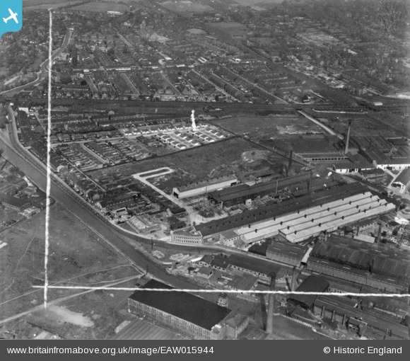
EAW015944 ENGLAND (1948). The Mitchell, Shackleton and Co Vulcan Engineering Works, Patricroft, 1948. This image has been produced from a print marked by Aerofilms Ltd for photo editing.
© Copyright OpenStreetMap contributors and licensed by the OpenStreetMap Foundation. 2024. Cartography is licensed as CC BY-SA.
Nearby Images (18)
EAW015944

EAW015939

EPW057380

EPW057379

EPW057376

EPW057378

EPW057381

EAW015940

EAW015942

EAW015938

EAW015943

EAW015945

EAW015941

EPW057377

EPW017793

EPW017795

EPW017797

EPW017798

Details
| Title | [EAW015944] The Mitchell, Shackleton and Co Vulcan Engineering Works, Patricroft, 1948. This image has been produced from a print marked by Aerofilms Ltd for photo editing. |
| Reference | EAW015944 |
| Date | 19-May-1948 |
| Link | |
| Place name | PATRICROFT |
| Parish | |
| District | |
| Country | ENGLAND |
| Easting / Northing | 376436, 399148 |
| Longitude / Latitude | -2.355177431779, 53.488265237448 |
| National Grid Reference | SJ764991 |
Pins
Be the first to add a comment to this image!


