
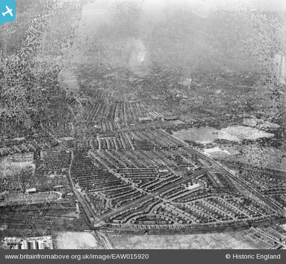
EAW015920 ENGLAND (1948). Stanley Park and surrounding district, Anfield, from the north-east, 1948. This image has been produced from a damaged negative.
© Copyright OpenStreetMap contributors and licensed by the OpenStreetMap Foundation. 2024. Cartography is licensed as CC BY-SA.
Details
| Title | [EAW015920] Stanley Park and surrounding district, Anfield, from the north-east, 1948. This image has been produced from a damaged negative. |
| Reference | EAW015920 |
| Date | 20-May-1948 |
| Link | |
| Place name | ANFIELD |
| Parish | |
| District | |
| Country | ENGLAND |
| Easting / Northing | 337282, 393330 |
| Longitude / Latitude | -2.9441196323949, 53.432760946315 |
| National Grid Reference | SJ373933 |
Pins
 Old Liverpool lad |
Tuesday 10th of August 2021 09:04:10 PM | |
Old Liverpool lad |
Tuesday 10th of August 2021 09:01:42 PM | |
davybondo |
Saturday 28th of September 2019 02:29:00 AM | |
trevor |
Sunday 22nd of December 2013 10:03:27 PM |


