
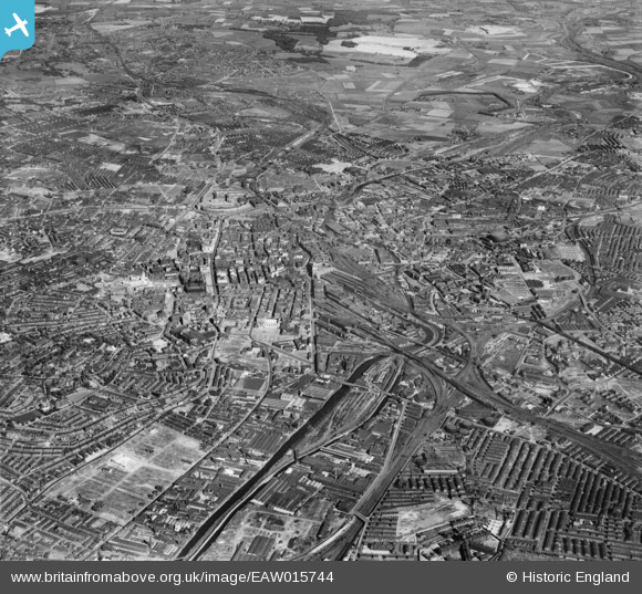
EAW015744 ENGLAND (1948). The city, Leeds, from the west, 1948
© Copyright OpenStreetMap contributors and licensed by the OpenStreetMap Foundation. 2024. Cartography is licensed as CC BY-SA.
Nearby Images (4)
EAW015744

EPW052004

EPW052003

EAW015742

Details
| Title | [EAW015744] The city, Leeds, from the west, 1948 |
| Reference | EAW015744 |
| Date | 18-May-1948 |
| Link | |
| Place name | LEEDS |
| Parish | |
| District | |
| Country | ENGLAND |
| Easting / Northing | 429044, 433550 |
| Longitude / Latitude | -1.5590115117147, 53.797230226979 |
| National Grid Reference | SE290336 |
Pins
 John N |
Sunday 25th of October 2020 01:40:14 AM | |
redmist |
Friday 12th of October 2018 12:27:58 AM | |
redmist |
Friday 12th of October 2018 12:24:56 AM | |
redmist |
Friday 12th of October 2018 12:16:28 AM |


