
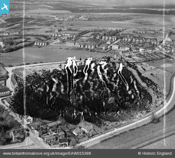
EAW015388 ENGLAND (1948). Kingsmead Secondary School (site of) and environs, Hednesford, 1948. This image has been produced from a damaged negative.
© Copyright OpenStreetMap contributors and licensed by the OpenStreetMap Foundation. 2024. Cartography is licensed as CC BY-SA.
Nearby Images (8)
EAW015388
 and environs, Hednesford, 1948. This image has been produced from a damaged negative.")
EAW015390

EAW015386

EAW015391

EAW015387

EAW015389

EAW015392

EAW015385

Details
| Title | [EAW015388] Kingsmead Secondary School (site of) and environs, Hednesford, 1948. This image has been produced from a damaged negative. |
| Reference | EAW015388 |
| Date | 6-May-1948 |
| Link | |
| Place name | HEDNESFORD |
| Parish | HEDNESFORD |
| District | |
| Country | ENGLAND |
| Easting / Northing | 400423, 311661 |
| Longitude / Latitude | -1.9937393243282, 52.702278247434 |
| National Grid Reference | SK004117 |
Pins
Be the first to add a comment to this image!


