
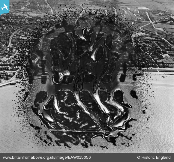
EAW015056 ENGLAND (1948). Marine Parade and the town, Weston-super-Mare, 1948. This image has been produced from a damaged negative.
© Copyright OpenStreetMap contributors and licensed by the OpenStreetMap Foundation. 2024. Cartography is licensed as CC BY-SA.
Nearby Images (20)
EAW015056

EAW015057

EPW023969

EPW023970

EPW023960

EPW001039

EPW051708

EPW039934

EAW025155

EAW016133

EPW048457

EPW051716

EPW039932

EPW048456

EPW048443

EPW024072

EAW016134

EPW039936

EAW015053

EPW023967

Details
| Title | [EAW015056] Marine Parade and the town, Weston-super-Mare, 1948. This image has been produced from a damaged negative. |
| Reference | EAW015056 |
| Date | 27-April-1948 |
| Link | |
| Place name | WESTON-SUPER-MARE |
| Parish | WESTON-SUPER-MARE |
| District | |
| Country | ENGLAND |
| Easting / Northing | 331703, 161491 |
| Longitude / Latitude | -2.9807695657125, 51.347889472822 |
| National Grid Reference | ST317615 |
Pins
Be the first to add a comment to this image!


