
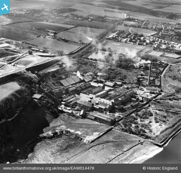
EAW014478 ENGLAND (1948). The Ford Paper Mill, South Hylton, 1948
© Copyright OpenStreetMap contributors and licensed by the OpenStreetMap Foundation. 2024. Cartography is licensed as CC BY-SA.
Nearby Images (15)
EAW014478

EAW014479

EAW014474

EAW014470

EAW014476

EPW016428

EAW014472

EAW014473

EAW014471

EPW016427

EAW014475

EAW014469

EAW014477

EPW016434

EPW016432

Details
| Title | [EAW014478] The Ford Paper Mill, South Hylton, 1948 |
| Reference | EAW014478 |
| Date | 15-April-1948 |
| Link | |
| Place name | SOUTH HYLTON |
| Parish | |
| District | |
| Country | ENGLAND |
| Easting / Northing | 436008, 557343 |
| Longitude / Latitude | -1.438305464539, 54.909416810105 |
| National Grid Reference | NZ360573 |
Pins
Be the first to add a comment to this image!


