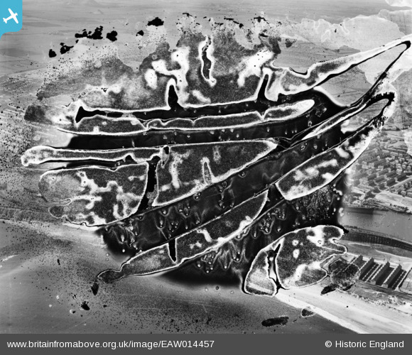
EAW014457 ENGLAND (1948). Blyth Harbour and environs, Blyth, 1948. This image has been produced from a damaged negative.
© Copyright OpenStreetMap contributors and licensed by the OpenStreetMap Foundation. 2024. Cartography is licensed as CC BY-SA.
Nearby Images (10)
Details
| Title | [EAW014457] Blyth Harbour and environs, Blyth, 1948. This image has been produced from a damaged negative. |
| Reference | EAW014457 |
| Date | 15-April-1948 |
| Link | |
| Place name | BLYTH |
| Parish | BLYTH |
| District | |
| Country | ENGLAND |
| Easting / Northing | 431690, 581722 |
| Longitude / Latitude | -1.5029566256761, 55.128799956332 |
| National Grid Reference | NZ317817 |


![[EAW014457] Blyth Harbour and environs, Blyth, 1948. This image has been produced from a damaged negative.](http://britainfromabove.org.uk/sites/all/libraries/aerofilms-images/public/100x100/EAW/014/EAW014457.jpg)
![[EAW013065] The Port of Blyth and the town, Blyth, from the south-east, 1948](http://britainfromabove.org.uk/sites/all/libraries/aerofilms-images/public/100x100/EAW/013/EAW013065.jpg)
![[EPW019745] Carlton Street and environs, Blyth, 1927](http://britainfromabove.org.uk/sites/all/libraries/aerofilms-images/public/100x100/EPW/019/EPW019745.jpg)
![[EPW019747] Graving Docks and the Gas Works, Blyth, 1927](http://britainfromabove.org.uk/sites/all/libraries/aerofilms-images/public/100x100/EPW/019/EPW019747.jpg)
![[EAW014450] Blyth Harbour and environs, Blyth, 1948. This image has been produced from a damaged negative.](http://britainfromabove.org.uk/sites/all/libraries/aerofilms-images/public/100x100/EAW/014/EAW014450.jpg)
![[EAW013075] The Port of Blyth and East Pier, Blyth, 1948](http://britainfromabove.org.uk/sites/all/libraries/aerofilms-images/public/100x100/EAW/013/EAW013075.jpg)
![[EAW014452] Blyth Harbour and environs, Blyth, from the east, 1948. This image has been produced from a damaged negative.](http://britainfromabove.org.uk/sites/all/libraries/aerofilms-images/public/100x100/EAW/014/EAW014452.jpg)
![[EAW014449] Blyth Harbour and environs, Blyth, 1948. This image has been produced from a damaged negative.](http://britainfromabove.org.uk/sites/all/libraries/aerofilms-images/public/100x100/EAW/014/EAW014449.jpg)
![[EPW048843] Plessey Road, the South Side Staiths, the harbour and environs, Blyth, 1935](http://britainfromabove.org.uk/sites/all/libraries/aerofilms-images/public/100x100/EPW/048/EPW048843.jpg)
![[EAW014447] Blyth Harbour and the town, Blyth, 1948](http://britainfromabove.org.uk/sites/all/libraries/aerofilms-images/public/100x100/EAW/014/EAW014447.jpg)


