
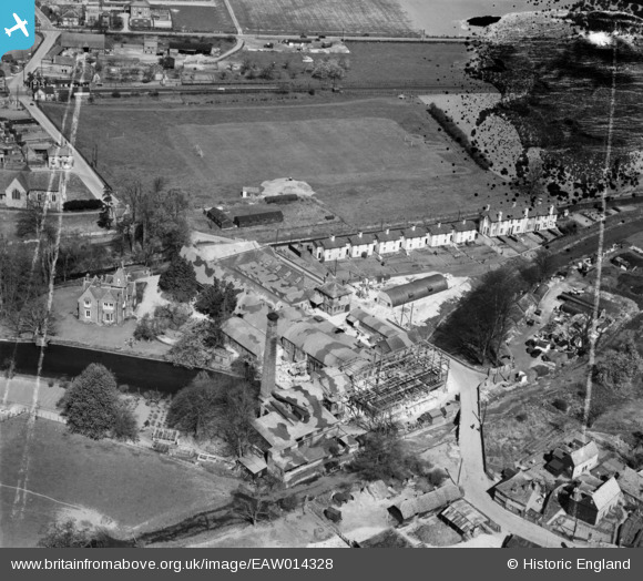
EAW014328 ENGLAND (1948). Chartham Paper Mill and environs, Chartham, 1948. This image was marked by Aerofilms Ltd for photo editing.
© Copyright OpenStreetMap contributors and licensed by the OpenStreetMap Foundation. 2024. Cartography is licensed as CC BY-SA.
Nearby Images (23)
EAW014328

EAW014325

EAW014329

EAW026256

EAW026262

EAW014331

EAW026257

EAW026258

EAW026261

EAW026259

EAW026260

EAW014332

EAW014333

EAW014326

EAW026263

EAW004715

EAW026264

EAW014330

EAW014327

EAW004718

EAW004717

EAW004716

EPW038131

Details
| Title | [EAW014328] Chartham Paper Mill and environs, Chartham, 1948. This image was marked by Aerofilms Ltd for photo editing. |
| Reference | EAW014328 |
| Date | 13-April-1948 |
| Link | |
| Place name | CHARTHAM |
| Parish | CHARTHAM |
| District | |
| Country | ENGLAND |
| Easting / Northing | 610804, 155032 |
| Longitude / Latitude | 1.021381751202, 51.254910013141 |
| National Grid Reference | TR108550 |
Pins
 John Wass |
Friday 17th of April 2015 09:25:49 PM |
User Comment Contributions
twin ridges across recreation ground - old route? |
Lindsay |
Sunday 1st of February 2015 10:27:01 PM |


