
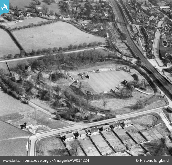
EAW014224 ENGLAND (1948). Berkhamsted Castle, Berkhamsted, 1948
© Copyright OpenStreetMap contributors and licensed by the OpenStreetMap Foundation. 2024. Cartography is licensed as CC BY-SA.
Nearby Images (24)
EAW014224

EAW004825

EAW014225

EAW049276

EAW004826

EAW004824

EAW004823

EAW049278

EAW014226

EAW049279

EAW014223

EAW014228

EAW048760

EAW014222

EAW053211

EAW053209

EAW053212A

EAW053210

EAW049277

EAW048763

EAW014227

EAW048762

EAW048761

EAW041753

Details
| Title | [EAW014224] Berkhamsted Castle, Berkhamsted, 1948 |
| Reference | EAW014224 |
| Date | 9-April-1948 |
| Link | |
| Place name | BERKHAMSTED |
| Parish | BERKHAMSTED |
| District | |
| Country | ENGLAND |
| Easting / Northing | 499550, 208237 |
| Longitude / Latitude | -0.55731737908817, 51.763501188684 |
| National Grid Reference | SP996082 |
Pins
 D Figueiredo |
Wednesday 8th of January 2014 01:22:43 PM | |
D Figueiredo |
Wednesday 8th of January 2014 01:21:27 PM | |
D Figueiredo |
Wednesday 8th of January 2014 01:19:20 PM |


