
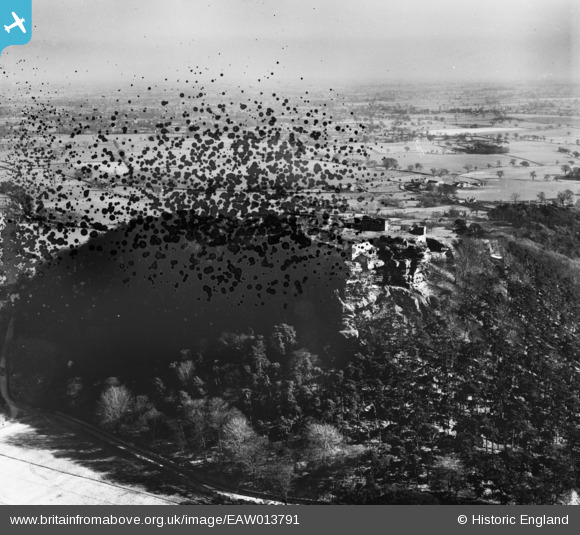
EAW013791 ENGLAND (1948). Beeston Castle, Beeston, from the north, 1948. This image has been produced from a damaged negative.
© Copyright OpenStreetMap contributors and licensed by the OpenStreetMap Foundation. 2024. Cartography is licensed as CC BY-SA.
Nearby Images (9)
EAW013791

EAW013793

EPW040171

EAW013792

EAW013794

EAW013790

EPW040170

EPW019436

EAW013789

Details
| Title | [EAW013791] Beeston Castle, Beeston, from the north, 1948. This image has been produced from a damaged negative. |
| Reference | EAW013791 |
| Date | 11-March-1948 |
| Link | |
| Place name | BEESTON |
| Parish | BEESTON |
| District | |
| Country | ENGLAND |
| Easting / Northing | 353815, 359378 |
| Longitude / Latitude | -2.6903292335721, 53.129269590351 |
| National Grid Reference | SJ538594 |
Pins
Be the first to add a comment to this image!


