
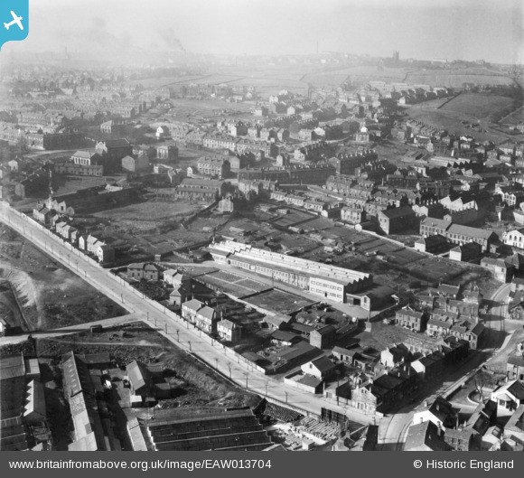
EAW013704 ENGLAND (1948). The Fox's Biscuit Works, Batley, from the east, 1948
© Copyright OpenStreetMap contributors and licensed by the OpenStreetMap Foundation. 2024. Cartography is licensed as CC BY-SA.
Nearby Images (20)
EAW013704

EAW013702A

EAW009231

EAW013700

EAW013702

EAW013701

EAW009232

EAW009234

EAW013703

EAW013699

EAW009233

EAW009230

EAW013698

EAW013705

EAW013706

EAW009229

EAW009236

EAW009235

EAW016014

EPW061327

Details
| Title | [EAW013704] The Fox's Biscuit Works, Batley, from the east, 1948 |
| Reference | EAW013704 |
| Date | 11-March-1948 |
| Link | |
| Place name | BATLEY |
| Parish | |
| District | |
| Country | ENGLAND |
| Easting / Northing | 424282, 423949 |
| Longitude / Latitude | -1.6320683186288, 53.711171925255 |
| National Grid Reference | SE243239 |
Pins
 trevpau |
Saturday 7th of January 2023 11:05:35 PM |


