
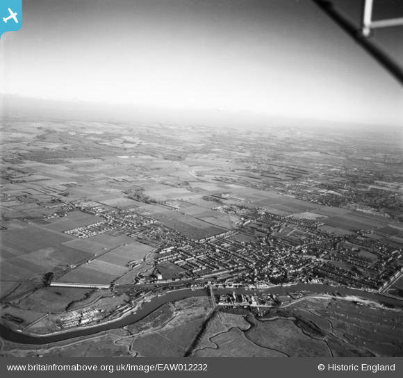
EAW012232 ENGLAND (1947). The River Arun and the town, Littlehampton, from the south-west, 1947
© Copyright OpenStreetMap contributors and licensed by the OpenStreetMap Foundation. 2024. Cartography is licensed as CC BY-SA.
Nearby Images (4)
EAW012232

EPW039463

EPW017754

EPW017753

Details
| Title | [EAW012232] The River Arun and the town, Littlehampton, from the south-west, 1947 |
| Reference | EAW012232 |
| Date | 24-November-1947 |
| Link | |
| Place name | LITTLEHAMPTON |
| Parish | LITTLEHAMPTON |
| District | |
| Country | ENGLAND |
| Easting / Northing | 502342, 102390 |
| Longitude / Latitude | -0.54721430024728, 50.811445842162 |
| National Grid Reference | TQ023024 |
Pins
 Linny |
Thursday 4th of May 2023 08:54:42 AM | |
Linny |
Thursday 4th of May 2023 08:53:17 AM | |
 redmist |
Monday 27th of June 2022 10:42:30 PM | |
redmist |
Monday 27th of June 2022 10:37:17 PM | |
Sparky |
Saturday 30th of September 2017 09:46:45 PM | |
Sparky |
Saturday 30th of September 2017 09:45:51 PM | |
Sparky |
Saturday 30th of September 2017 09:45:13 PM | |
JerryE |
Sunday 29th of December 2013 01:28:01 PM | |
JerryE |
Sunday 29th of December 2013 01:25:45 PM |


