
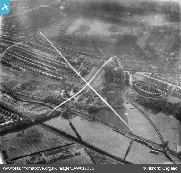
EAW012066 ENGLAND (1947). Harrison's Plantation and the surrounding residential area, Wollaton, 1947. This image was marked by Aerofilms Ltd for photo editing.
© Copyright OpenStreetMap contributors and licensed by the OpenStreetMap Foundation. 2024. Cartography is licensed as CC BY-SA.
Nearby Images (8)
EAW012066

EAW012077

EAW012075

EAW012073

EAW012074

EAW012076

EAW012058

EAW012065

Details
| Title | [EAW012066] Harrison's Plantation and the surrounding residential area, Wollaton, 1947. This image was marked by Aerofilms Ltd for photo editing. |
| Reference | EAW012066 |
| Date | 5-November-1947 |
| Link | |
| Place name | WOLLATON |
| Parish | |
| District | |
| Country | ENGLAND |
| Easting / Northing | 453259, 340198 |
| Longitude / Latitude | -1.2071157900323, 52.956195145632 |
| National Grid Reference | SK533402 |
Pins
Be the first to add a comment to this image!


