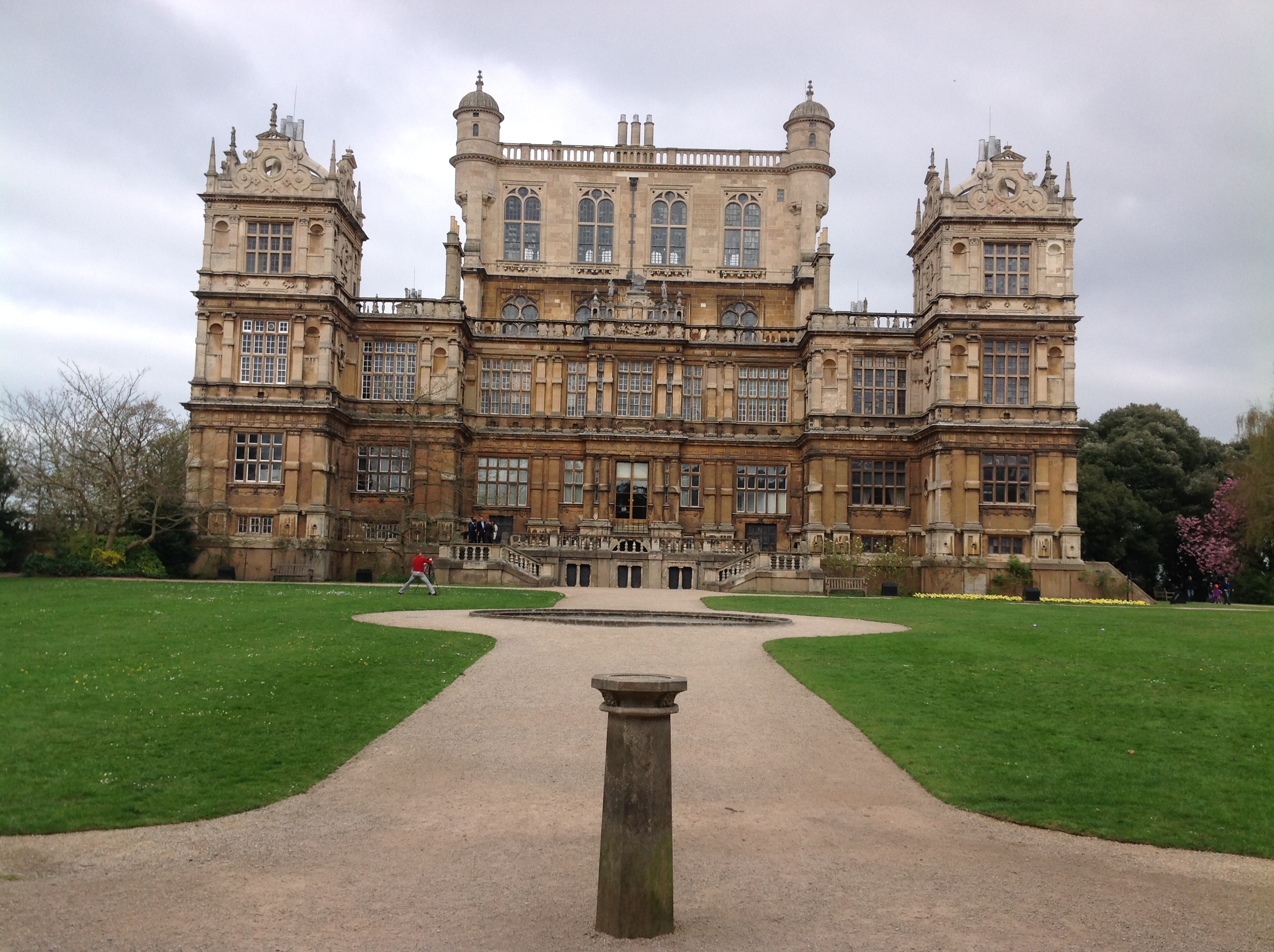
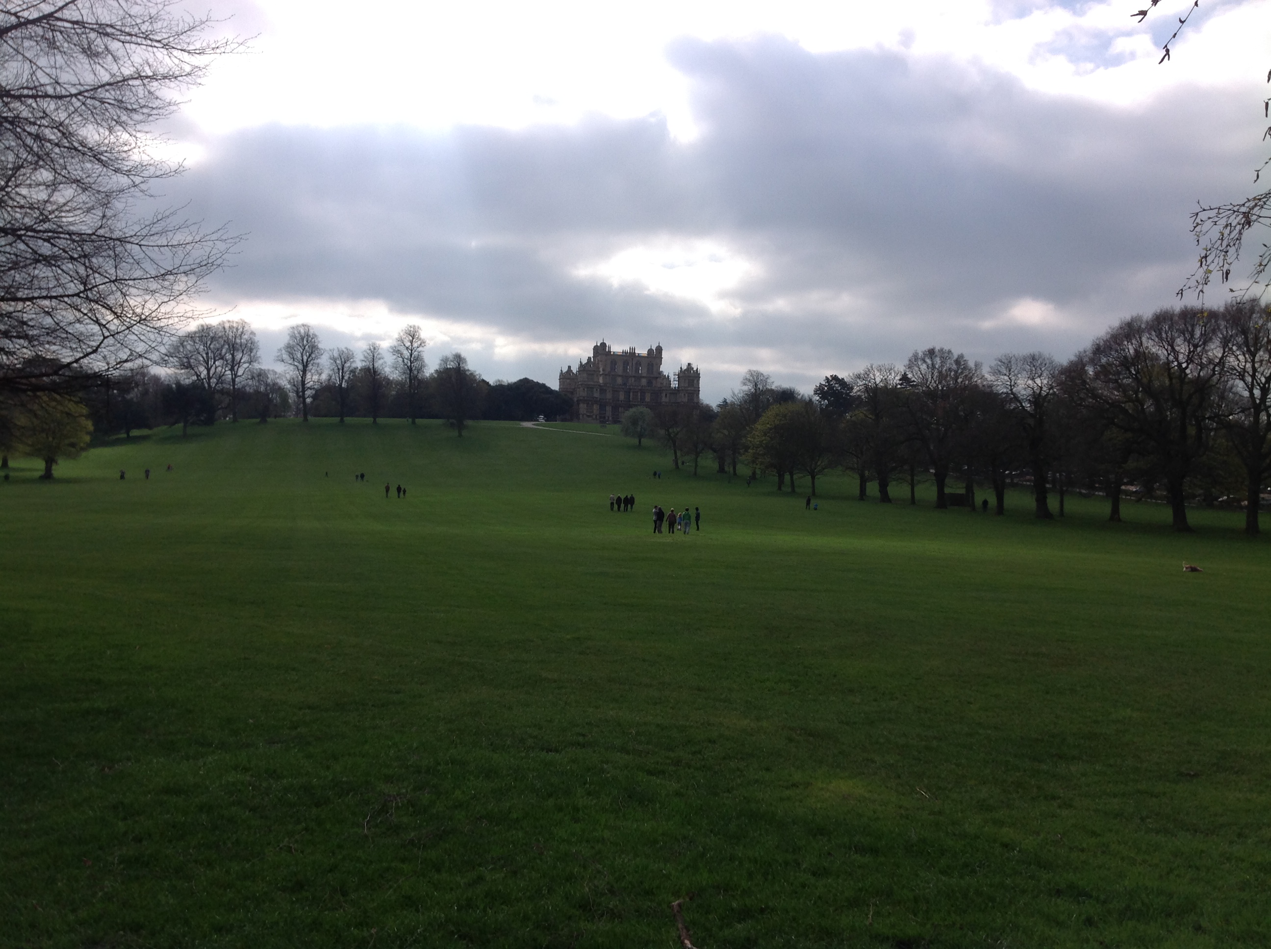
EAW012060 ENGLAND (1947). The Wollaton Park prisoner of war camp and Wollaton Hall, Wollaton, 1947

© Copyright OpenStreetMap contributors and licensed by the OpenStreetMap Foundation. 2024. Cartography is licensed as CC BY-SA.
Nearby Images (3)
EAW012060

EAW012070

EAW012059

Details
| Title | [EAW012060] The Wollaton Park prisoner of war camp and Wollaton Hall, Wollaton, 1947 |
| Reference | EAW012060 |
| Date | 5-November-1947 |
| Link | |
| Place name | WOLLATON |
| Parish | |
| District | |
| Country | ENGLAND |
| Easting / Northing | 453146, 339503 |
| Longitude / Latitude | -1.2089118990292, 52.9499587001 |
| National Grid Reference | SK531395 |
Pins
 johnxclarke |
Monday 31st of October 2016 03:37:03 PM | |
johnxclarke |
Monday 31st of October 2016 03:36:37 PM |