
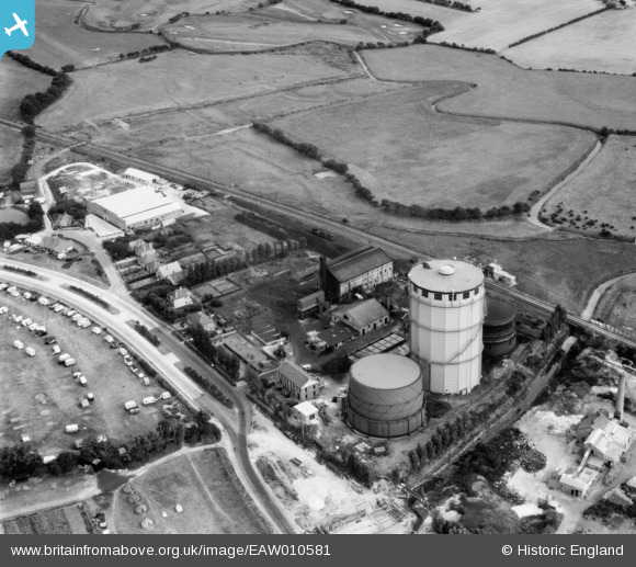
EAW010581 ENGLAND (1947). Bognor Regis Gas Works on Shripney Road, South Bersted, 1947
© Copyright OpenStreetMap contributors and licensed by the OpenStreetMap Foundation. 2024. Cartography is licensed as CC BY-SA.
Nearby Images (10)
EAW010581

EAW010579

EAW010580

EAW010576

EAW010575

EAW010574

EAW010578

EAW010577

EAW010572

EAW010573

Details
| Title | [EAW010581] Bognor Regis Gas Works on Shripney Road, South Bersted, 1947 |
| Reference | EAW010581 |
| Date | 3-September-1947 |
| Link | |
| Place name | SOUTH BERSTED |
| Parish | BERSTED |
| District | |
| Country | ENGLAND |
| Easting / Northing | 494183, 100656 |
| Longitude / Latitude | -0.66344441012299, 50.79723971845 |
| National Grid Reference | SU942007 |
Pins
 redmist |
Saturday 2nd of July 2022 08:10:59 PM | |
redmist |
Saturday 2nd of July 2022 08:09:46 PM | |
 Matt Aldred edob.mattaldred.com |
Thursday 11th of March 2021 04:28:29 PM | |
Sparky |
Wednesday 2nd of August 2017 10:40:45 PM | |
Sparky |
Wednesday 2nd of August 2017 10:40:45 PM | |
Sparky |
Wednesday 2nd of August 2017 10:40:09 PM |


