
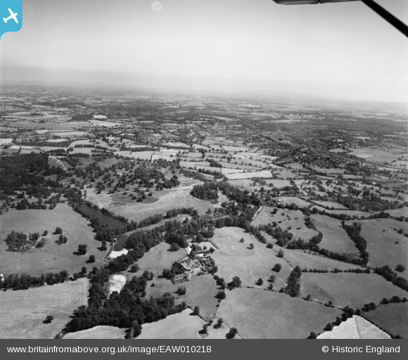
EAW010218 ENGLAND (1947). Weald Park, South Weald, from the west, 1947
© Copyright OpenStreetMap contributors and licensed by the OpenStreetMap Foundation. 2024. Cartography is licensed as CC BY-SA.
Nearby Images (3)
EAW010218

EPW009576

EAW010226

Details
| Title | [EAW010218] Weald Park, South Weald, from the west, 1947 |
| Reference | EAW010218 |
| Date | 12-August-1947 |
| Link | |
| Place name | SOUTH WEALD |
| Parish | |
| District | |
| Country | ENGLAND |
| Easting / Northing | 556500, 194096 |
| Longitude / Latitude | 0.26109209292659, 51.62342161786 |
| National Grid Reference | TQ565941 |
Pins
Be the first to add a comment to this image!


