
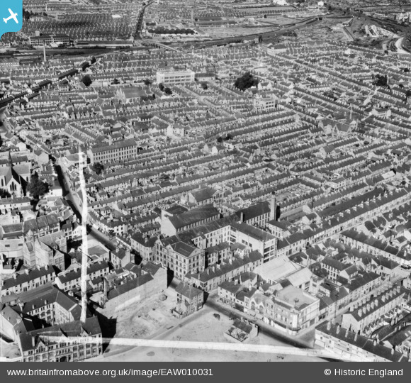
EAW010031 ENGLAND (1947). W. Raven & Co Hosiery Factory and surrounding residential district, Leicester, from the south-west, 1947. This image was marked by Aerofilms Ltd for photo editing.
© Copyright OpenStreetMap contributors and licensed by the OpenStreetMap Foundation. 2024. Cartography is licensed as CC BY-SA.
Nearby Images (21)
EAW010031

EAW010035

EAW011750

EAW011746

EAW010033

EAW011751

EAW011748

EAW011745

EAW011749

EAW011744

EAW010034

EAW010038

EAW011747

EAW010037

EAW010036

EAW010032

EPW061207

EAW051833

EPW055007

EAW051826

EAW051831

Details
| Title | [EAW010031] W. Raven & Co Hosiery Factory and surrounding residential district, Leicester, from the south-west, 1947. This image was marked by Aerofilms Ltd for photo editing. |
| Reference | EAW010031 |
| Date | 29-August-1947 |
| Link | |
| Place name | LEICESTER |
| Parish | |
| District | |
| Country | ENGLAND |
| Easting / Northing | 459167, 304936 |
| Longitude / Latitude | -1.1255532914117, 52.638589273245 |
| National Grid Reference | SK592049 |
Pins
 Peter Smith |
Friday 28th of August 2020 11:34:42 AM | |
Sparky |
Monday 7th of August 2017 09:32:04 AM | |
Sparky |
Monday 7th of August 2017 09:32:03 AM |


