
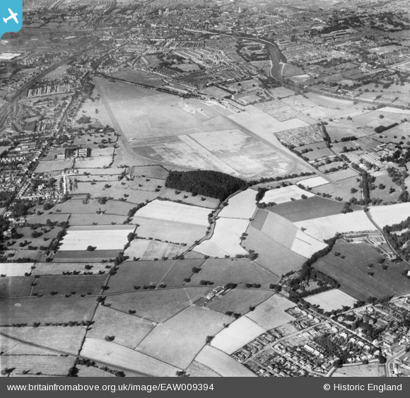
EAW009394 ENGLAND (1947). York Racecourse, York, 1947
© Copyright OpenStreetMap contributors and licensed by the OpenStreetMap Foundation. 2024. Cartography is licensed as CC BY-SA.
Nearby Images (3)
EAW009394

EAW009396

EAW009395

Details
| Title | [EAW009394] York Racecourse, York, 1947 |
| Reference | EAW009394 |
| Date | 17-August-1947 |
| Link | |
| Place name | YORK |
| Parish | |
| District | |
| Country | ENGLAND |
| Easting / Northing | 459164, 448774 |
| Longitude / Latitude | -1.0987957571075, 53.931507292472 |
| National Grid Reference | SE592488 |
Pins
 redmist |
Thursday 1st of November 2018 11:18:49 PM |


