
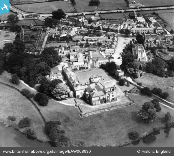
EAW008930 ENGLAND (1947). Ripley Castle and the village, Ripley, 1947. This image has been produced from a print.
© Copyright OpenStreetMap contributors and licensed by the OpenStreetMap Foundation. 2024. Cartography is licensed as CC BY-SA.
Nearby Images (9)
EAW008930

EAW008925

EAW008926

EPW015794

EAW008928

EAW008927

EPW015793

EAW008929

EPW015795

Details
| Title | [EAW008930] Ripley Castle and the village, Ripley, 1947. This image has been produced from a print. |
| Reference | EAW008930 |
| Date | 9-August-1947 |
| Link | |
| Place name | RIPLEY |
| Parish | RIPLEY |
| District | |
| Country | ENGLAND |
| Easting / Northing | 428283, 460572 |
| Longitude / Latitude | -1.5680660693075, 54.040161499967 |
| National Grid Reference | SE283606 |
Pins
Be the first to add a comment to this image!


