
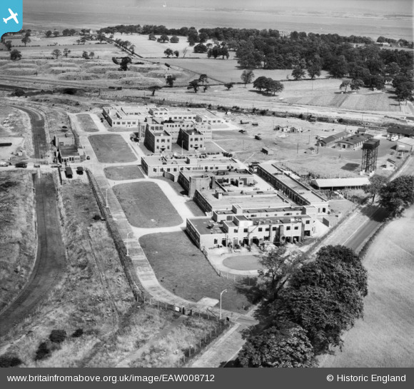
EAW008712 ENGLAND (1947). The Thornton Research Centre, Stanlow, 1947
© Copyright OpenStreetMap contributors and licensed by the OpenStreetMap Foundation. 2024. Cartography is licensed as CC BY-SA.
Nearby Images (7)
EAW008712

EAW008709

EAW008707

EAW008708

EAW008710

EAW008713

EAW008691

Details
| Title | [EAW008712] The Thornton Research Centre, Stanlow, 1947 |
| Reference | EAW008712 |
| Date | 1-August-1947 |
| Link | |
| Place name | STANLOW |
| Parish | |
| District | |
| Country | ENGLAND |
| Easting / Northing | 344913, 375680 |
| Longitude / Latitude | -2.8261873439593, 53.274962258977 |
| National Grid Reference | SJ449757 |
Pins
Be the first to add a comment to this image!


