
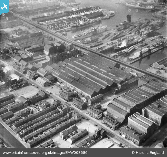
EAW008686 ENGLAND (1947). The Harland and Wolff Shipbuilding and Engineering Works and environs, Bootle, 1947
© Copyright OpenStreetMap contributors and licensed by the OpenStreetMap Foundation. 2024. Cartography is licensed as CC BY-SA.
Nearby Images (10)
EAW008686

EAW008676

EAW008679

EAW008675

EAW008673

EAW008674

EAW008680

EAW008685

EAW008677

EPW051523

Details
| Title | [EAW008686] The Harland and Wolff Shipbuilding and Engineering Works and environs, Bootle, 1947 |
| Reference | EAW008686 |
| Date | 1-August-1947 |
| Link | |
| Place name | BOOTLE |
| Parish | |
| District | |
| Country | ENGLAND |
| Easting / Northing | 333743, 394351 |
| Longitude / Latitude | -2.9975999475, 53.441504995087 |
| National Grid Reference | SJ337944 |
Pins
Be the first to add a comment to this image!


