
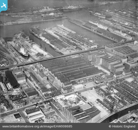
EAW008685 ENGLAND (1947). The Harland and Wolff Shipbuilding and Engineering Works and environs, Bootle, 1947
© Copyright OpenStreetMap contributors and licensed by the OpenStreetMap Foundation. 2024. Cartography is licensed as CC BY-SA.
Nearby Images (10)
EAW008685

EAW008680

EAW008673

EAW008679

EAW008674

EAW008686

EAW008676

EAW008675

EPW051523

EAW008677

Details
| Title | [EAW008685] The Harland and Wolff Shipbuilding and Engineering Works and environs, Bootle, 1947 |
| Reference | EAW008685 |
| Date | 1-August-1947 |
| Link | |
| Place name | BOOTLE |
| Parish | |
| District | |
| Country | ENGLAND |
| Easting / Northing | 333673, 394334 |
| Longitude / Latitude | -2.9986501450999, 53.441343391008 |
| National Grid Reference | SJ337943 |


