
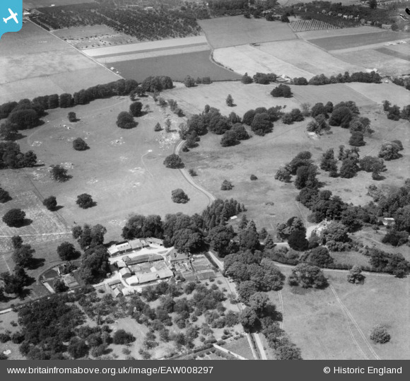
EAW008297 ENGLAND (1947). Home Farm, Woodstock, 1947
© Copyright OpenStreetMap contributors and licensed by the OpenStreetMap Foundation. 2024. Cartography is licensed as CC BY-SA.
Nearby Images (10)
EAW008297

EAW008302

EAW008295

EAW008304

EAW008310

EAW008313

EAW008307

EAW008311

EAW008308

EAW008301

Details
| Title | [EAW008297] Home Farm, Woodstock, 1947 |
| Reference | EAW008297 |
| Date | 15-July-1947 |
| Link | |
| Place name | WOODSTOCK |
| Parish | TUNSTALL |
| District | |
| Country | ENGLAND |
| Easting / Northing | 590015, 160931 |
| Longitude / Latitude | 0.72693999691339, 51.315206447331 |
| National Grid Reference | TQ900609 |
Pins

User Comment Contributions
Thanks for the location - we'll update the catalogue and post the new data here in due course. Yours, Katy Britain from Above Cataloguing Team Leader |
Katy Whitaker |
Tuesday 7th of January 2014 01:06:47 PM |
I agree the location at Tunstall, Woodstock Farm |
 Class31 |
Friday 8th of November 2013 12:00:56 AM |
This area was called the Woodstock Agricultural Research Centre in 1962. |
Class31 |
Thursday 7th of November 2013 11:59:56 PM |
In the set EAW008294, EAW008296 - EAW008308, EAW008310 - EAW008311, EAW008313. All taken in same are with oast houses and orchards. Kent? |
 Rebecca |
Monday 4th of November 2013 01:57:06 PM |


