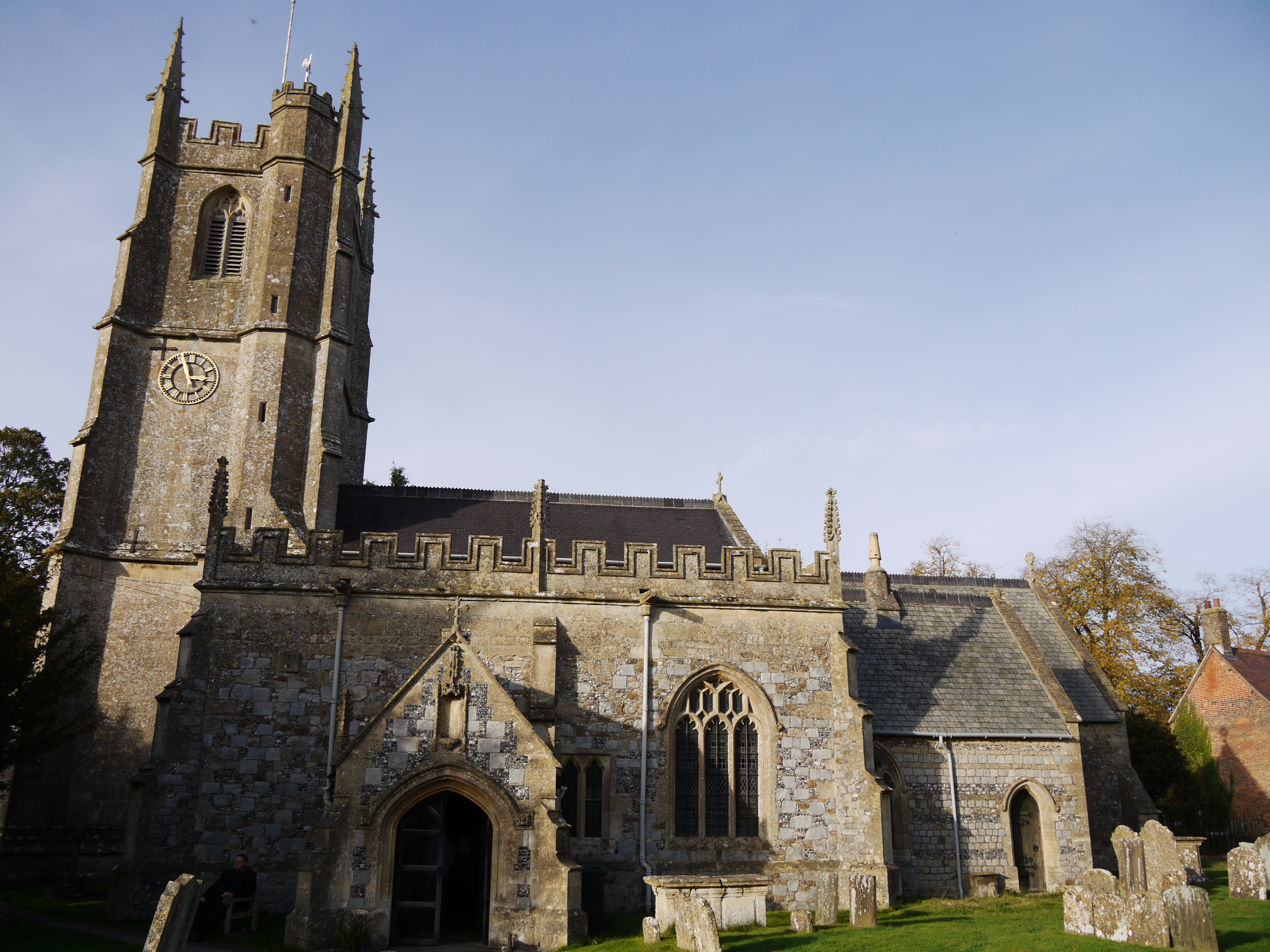
EAW007054 ENGLAND (1947). St James's Church and the High Street, Avebury, 1947

© Copyright OpenStreetMap contributors and licensed by the OpenStreetMap Foundation. 2024. Cartography is licensed as CC BY-SA.
Nearby Images (13)
EAW007054

EPW011118

EAW049151

EAW049153

EAW007056

EAW007049

EAW007048

EAW007058

EAW007047

EAW049152

EAW034897

EAW007046

EAW007055

Details
| Title | [EAW007054] St James's Church and the High Street, Avebury, 1947 |
| Reference | EAW007054 |
| Date | 11-June-1947 |
| Link | |
| Place name | AVEBURY |
| Parish | AVEBURY |
| District | |
| Country | ENGLAND |
| Easting / Northing | 410011, 169909 |
| Longitude / Latitude | -1.8559899182834, 51.427606733289 |
| National Grid Reference | SU100699 |
Pins
 Class31 |
Tuesday 27th of October 2015 08:49:20 AM |