
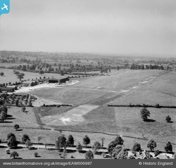
EAW006987 ENGLAND (1947). Elstree Aerodrome, Aldenham, from the north-east, 1947
© Copyright OpenStreetMap contributors and licensed by the OpenStreetMap Foundation. 2024. Cartography is licensed as CC BY-SA.
Nearby Images (19)
EAW006987

EAW006988

EAW027658
 in flight at Elstree Aerodrome, Aldenham, 1949")
EAW041155

EAW027665
 at Elstree Aerodrome, Aldenham, 1949")
EAW008424

EAW027657
 in flight over Elstree Aerodrome, Aldenham, 1949")
EAW023635

EAW027497

EAW023639

EAW027500

EAW041239

EAW023637

EAW008425

EAW023636

EAW023641

EAW023640

EAW023638

EAW008428

Details
| Title | [EAW006987] Elstree Aerodrome, Aldenham, from the north-east, 1947 |
| Reference | EAW006987 |
| Date | 16-June-1947 |
| Link | |
| Place name | ALDENHAM |
| Parish | ALDENHAM |
| District | |
| Country | ENGLAND |
| Easting / Northing | 516320, 196672 |
| Longitude / Latitude | -0.31825128156552, 51.656318437986 |
| National Grid Reference | TQ163967 |


