
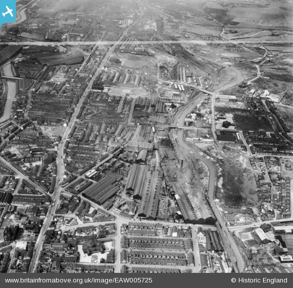
EAW005725 ENGLAND (1947). The Brown Bayleys Steel Works and the surrounding residential area, Sheffield, 1947. This image was marked by Aerofilms Ltd for photo editing.
© Copyright OpenStreetMap contributors and licensed by the OpenStreetMap Foundation. 2024. Cartography is licensed as CC BY-SA.
Nearby Images (14)
EAW005725

EAW006267

EAW006266

EAW005731

EAW005723

EAW006268

EAW005727

EAW005732

EAW005726

EAW005730

EAW005728

EAW006269

EAW005729

EAW005724

Details
| Title | [EAW005725] The Brown Bayleys Steel Works and the surrounding residential area, Sheffield, 1947. This image was marked by Aerofilms Ltd for photo editing. |
| Reference | EAW005725 |
| Date | 15-May-1947 |
| Link | |
| Place name | SHEFFIELD |
| Parish | |
| District | |
| Country | ENGLAND |
| Easting / Northing | 438450, 389124 |
| Longitude / Latitude | -1.4216827345298, 53.397281307124 |
| National Grid Reference | SK385891 |
Pins
 circloy |
Friday 16th of July 2021 07:27:57 PM | |
Cyberbia |
Thursday 17th of October 2019 07:24:18 PM | |
 Class31 |
Tuesday 21st of July 2015 04:36:00 PM | |
Class31 |
Tuesday 21st of July 2015 04:32:51 PM | |
Class31 |
Tuesday 21st of July 2015 04:32:09 PM | |
Class31 |
Tuesday 21st of July 2015 04:25:54 PM |


