
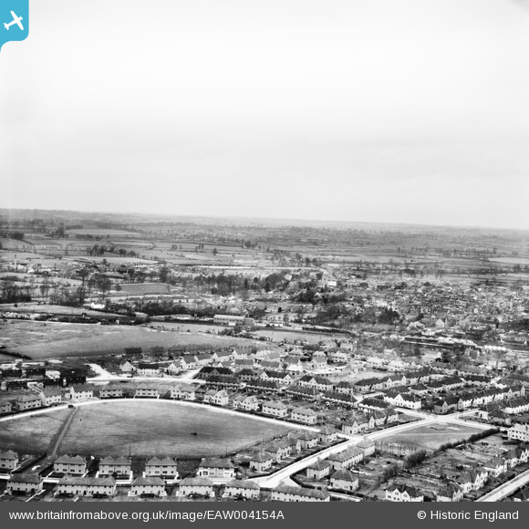
EAW004154A ENGLAND (1947). A new housing estate around Eaton Road and environs, Aylesbury, from the south, 1947
© Copyright OpenStreetMap contributors and licensed by the OpenStreetMap Foundation. 2024. Cartography is licensed as CC BY-SA.
Nearby Images (15)
EAW004154A

EAW004347

EAW004153

EAW004345

EAW004341

EAW004346

EAW004344

EAW004342

EAW004151

EAW004340

EAW003747

EAW003753

EAW004343

EAW003749

EAW003750

Details
| Title | [EAW004154A] A new housing estate around Eaton Road and environs, Aylesbury, from the south, 1947 |
| Reference | EAW004154A |
| Date | 10-April-1947 |
| Link | |
| Place name | AYLESBURY |
| Parish | AYLESBURY |
| District | |
| Country | ENGLAND |
| Easting / Northing | 481580, 213081 |
| Longitude / Latitude | -0.81653368560428, 51.809956725004 |
| National Grid Reference | SP816131 |
Pins
Be the first to add a comment to this image!


